As of Jun 6, 10 PM local time.
Active Alerts and Current Conditions
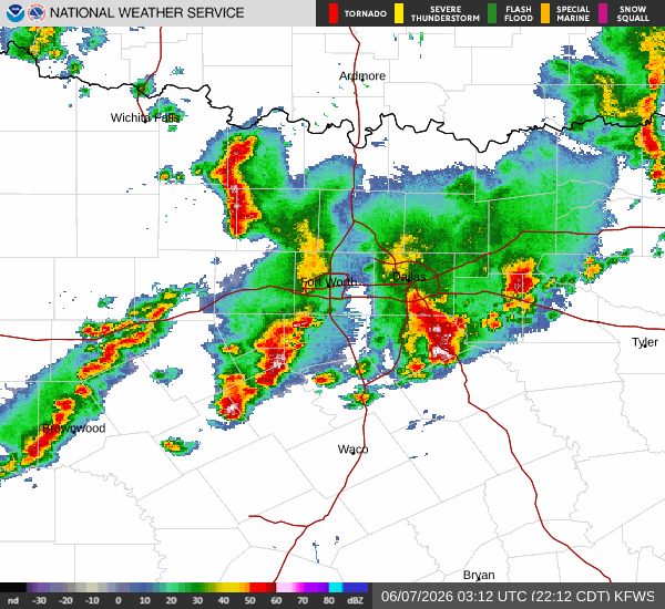
A Flood Watch with severe severity and future urgency is currently in effect for Celina, Texas. This alert was issued by the National Weather Service in Fort Worth and remains active until the specified end time. Residents should remain vigilant as conditions are favorable for flooding.
Right now, the air temperature in Celina is 72F, with a feels-like temperature of 76F. The atmosphere is quite humid, with a relative humidity of 92% and a dew point of 70F. Winds are blowing from the south-southeast at 10 mph, with gusts reaching up to 14 mph. The sky is currently overcast, setting the stage for the wet weather ahead.
Forecast for Today and Tomorrow
Today, Celina will see a high near 88F and a low near 72F. There is a 65% chance of precipitation, with rain showers expected throughout the day. The National Weather Service indicates that showers and thunderstorms are likely before 4am tonight, followed by a chance of showers and thunderstorms later.
Temperatures will drop to a low around 72F. South-southeast winds will remain around 10 mph. Rainfall amounts between a half and three quarters of an inch are possible.
Tomorrow, the high will be near 86F, with a low near 70F. The chance of precipitation is 50%, with thunderstorms expected. The forecast suggests a chance of showers and thunderstorms before 7am, then showers and thunderstorms likely between 7am and 10am, followed by a chance of showers and thunderstorms between 10am and 1pm.
The sky will be partly sunny. Heat index values may reach as high as 102. South winds will increase to 10 to 15 mph, with gusts as high as 25 mph.